Introduction
Harder to plan than to walk. Initially I wanted to hike it in 7 days — then I thought, why? This is one of the most beautiful hikes in Europe. Slow down.
9 days, 8 huts, 129 km, 7,633 m ascent, 8,046 m descent for the pure AV1, during early September.
The extra includes the walk from Villabassa station to St. Vito. You can book a bus, but it’s a good warm-up. Some working around the rain and thunderstorms was required, and in total it was over 9,000 m up, almost 10,000 m down, across 155 km and almost 56 hours on the trail.
Practical Information
Arrival / Departure
The original plan was to stop in Innsbruck, then travel leisurely to St. Vito — about an hour from the AV1 start at the far end of Lake Prags — spend the night there, and catch sunrise by the lake before an early start. The forecast had other ideas: heavy rain predicted for day one. New plan — a 05:30 train to Franzensfeste (aka Fortezza), change trains to Niederdorf (aka Villabassa), walk to St. Vito, drop the bag, and hike up to Rifugio Biella (the official Stage 1 end) as a “preparation day,” then back down to sleep in St. Vito and hope the forecast was wrong for the next day.
Other options are a bus from Cortina that passes Niederdorf. Any other train from anywhere will need to go through Fortezza.
At the other end of the trail: due to weather I did not exit at La Pissa. Instead, I exited via Forno di Zoldo, then on to Belluno (€3.50/person/day tourist tax — steep for a town that isn’t especially touristy, IMHO), then a 2-hour train to Venice Mestre.
You could cut out Belluno and use Ponte nelle Alpi, which you pass on the bus, saving you the trip back out again on the train. Venice Mestre station was quite chaotic, due to lots of clueless tourists. For the airport, the ATVO bus is a bit faster (25 minutes, aircon worked well, €12 one-way) than city buses 8 or 15, which are cheaper but you’ll need to find a café or bar to sell you a ticket, or pay €10 on the bus. Venice Airport still has liquid restrictions at security for hand luggage. Security lines moved quickly.
Getting around
On foot, unsurprisingly, there are very few exit or entry points once you’re on the route. The Lagazuoi cable car is the most popular; there’s also the Scoiattoli cable car and the chairlift for Averau. Pederü is right by the bus stop; Passo Giau and Dibona are right on a main road, but fewer buses pass here.
Belluno has urban buses — cash only, or via the Dolomitibus app. Taxis are very hard to find and expensive.
Ponte nelle Alpi is a train station you can connect to without going into Belluno.
Highlights
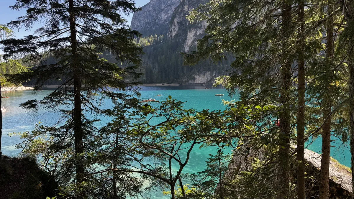
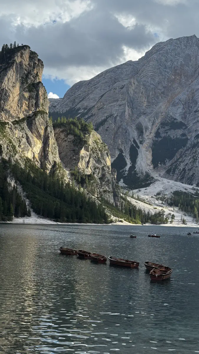
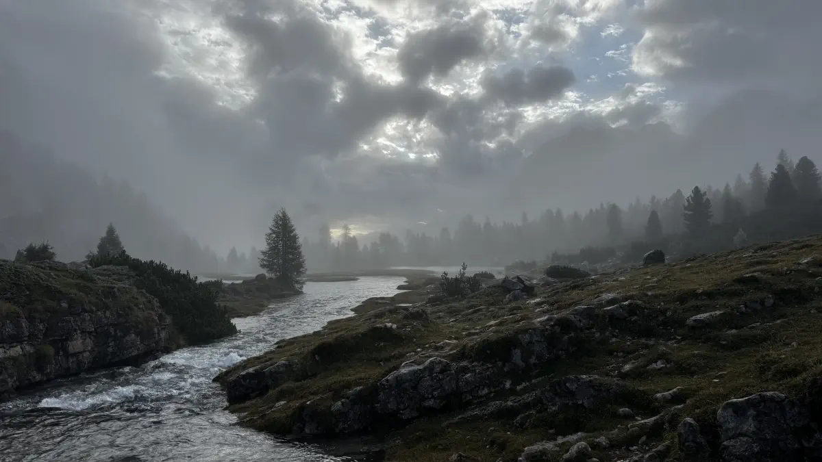
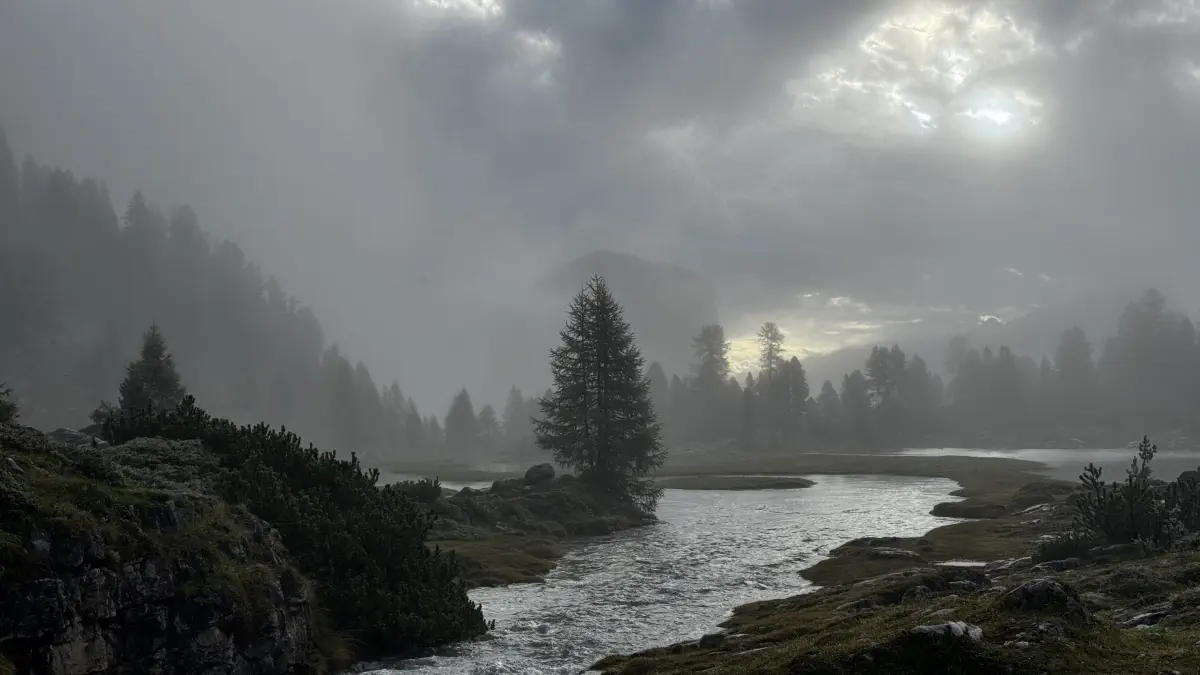
- Lake Prags on the cloudy, chilly morning, before the crowds arrive
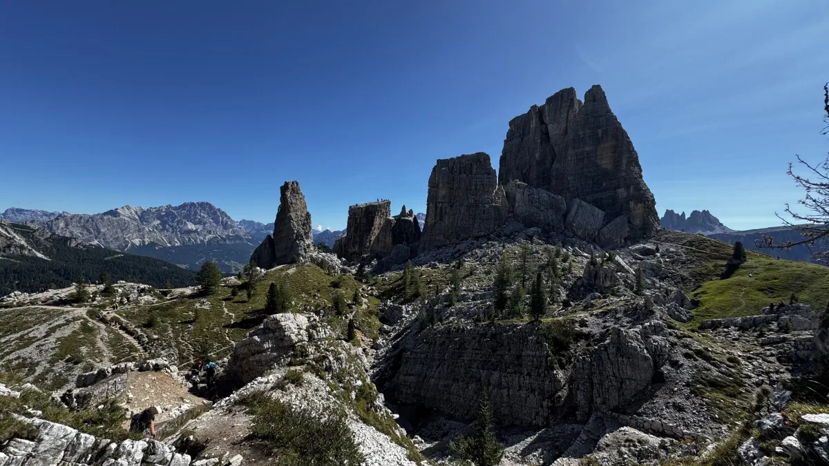
- Cinque Torri in good weather — busy, but worth the full hour-plus spent wandering around it
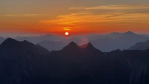
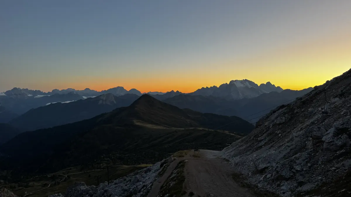
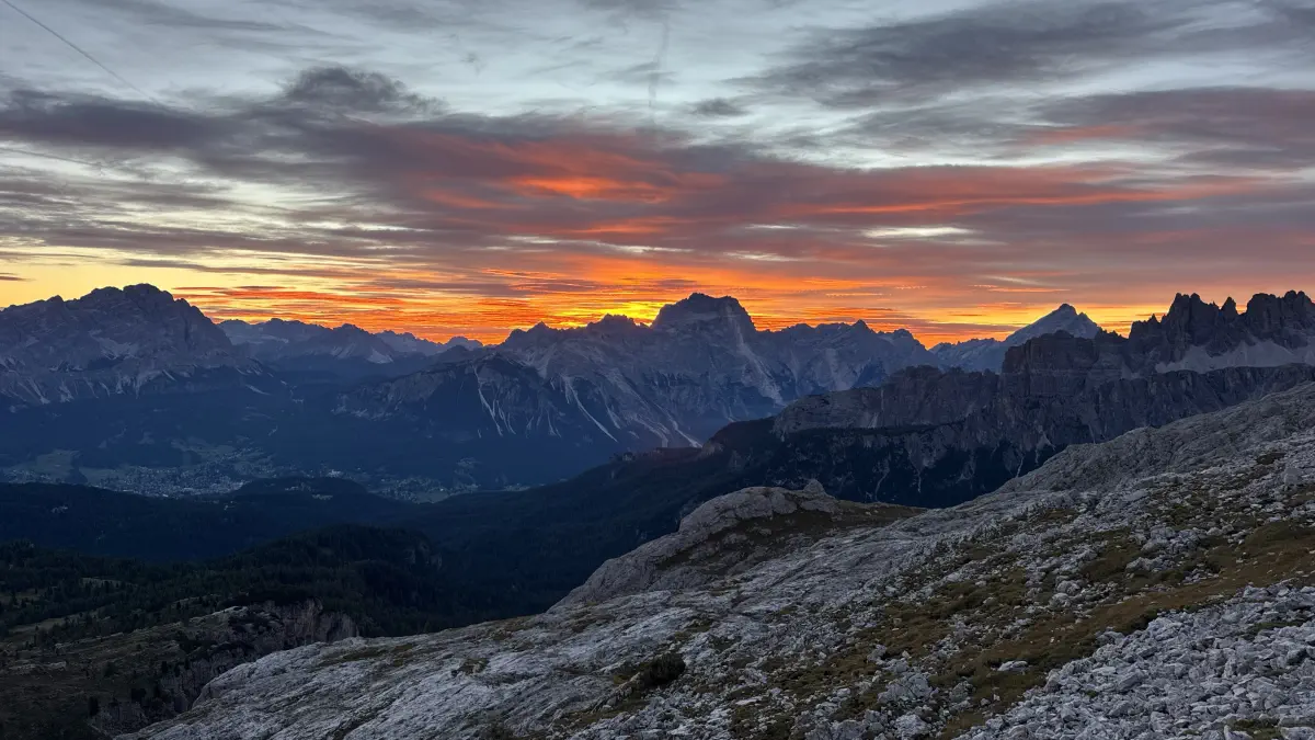
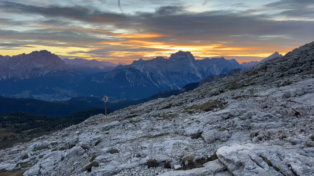
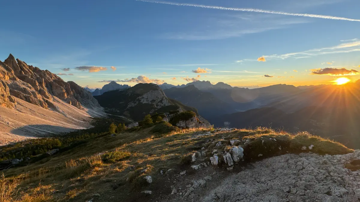
- The panoramic view and sunrise at Nuvolau, and the views and sunset at Tissi
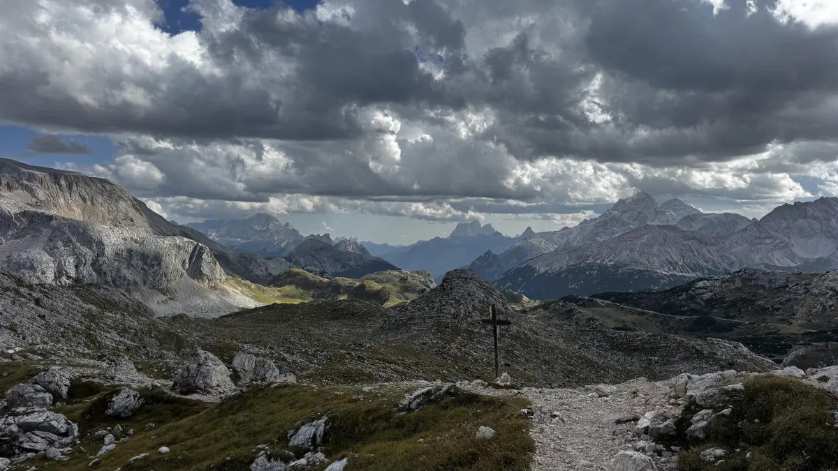
- The 360° view from Forcella de Zita Sud, above Pamperet, caught just before the clouds rolled in
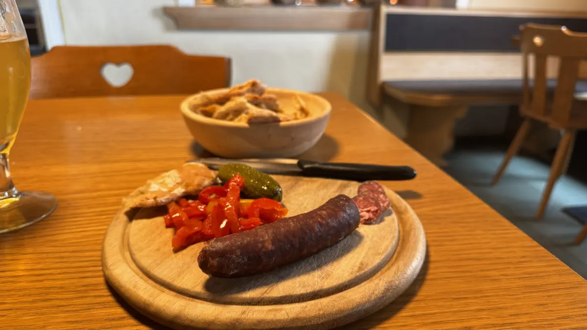
- Averau’s food, wine, and the “hay grappa” (a revelation)
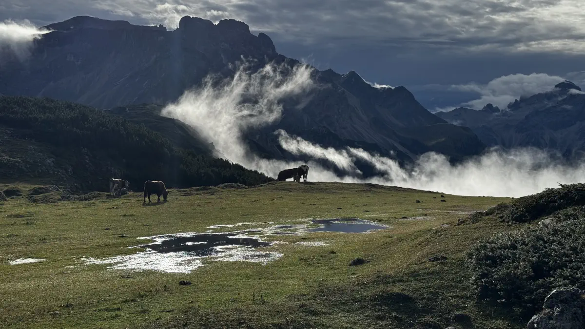
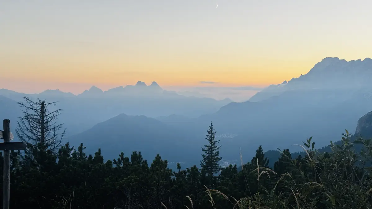
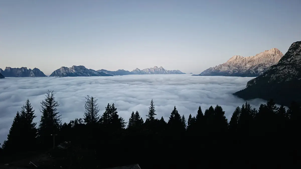
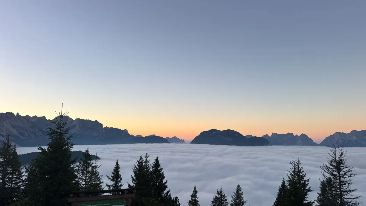
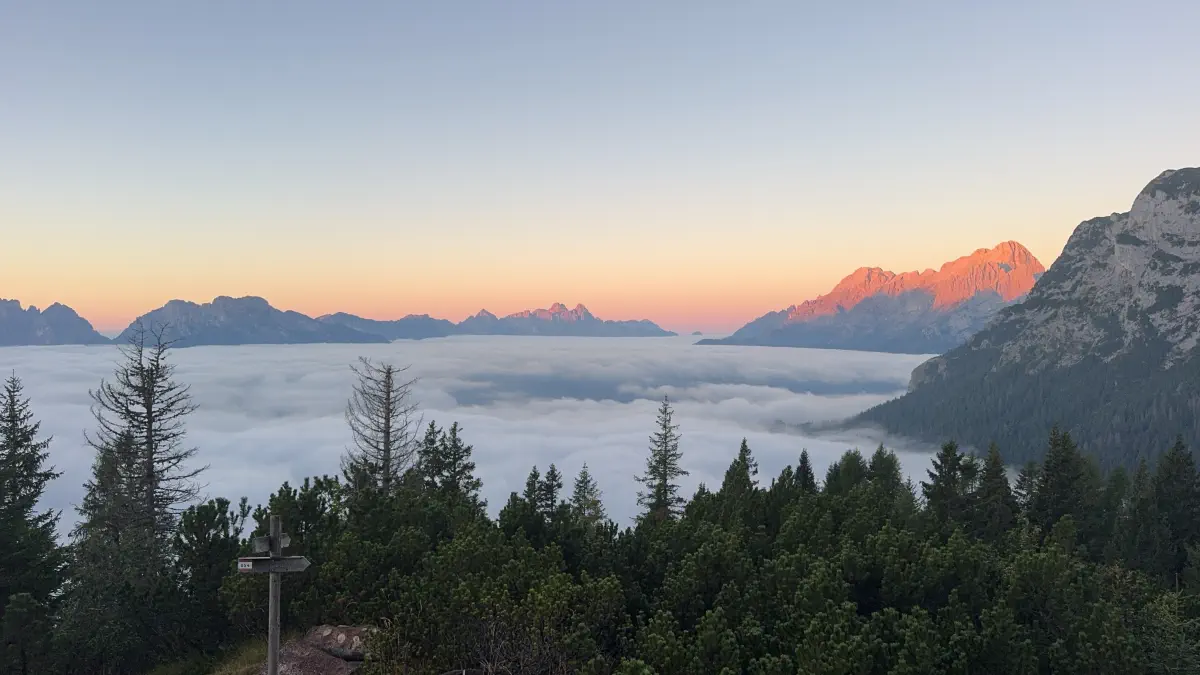
- The cloud inversion sunrise seen from Bruto Carestiato
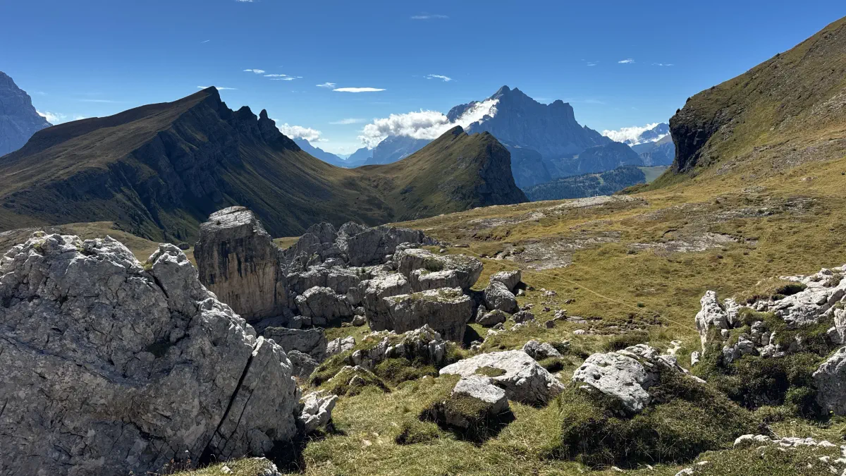
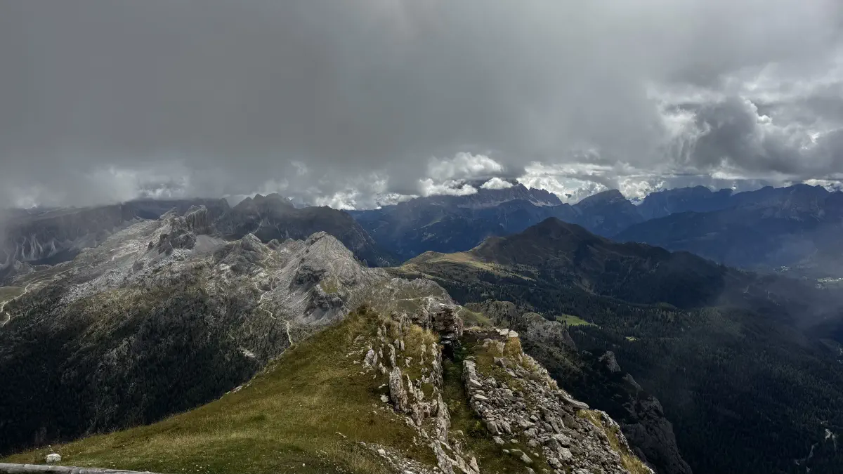
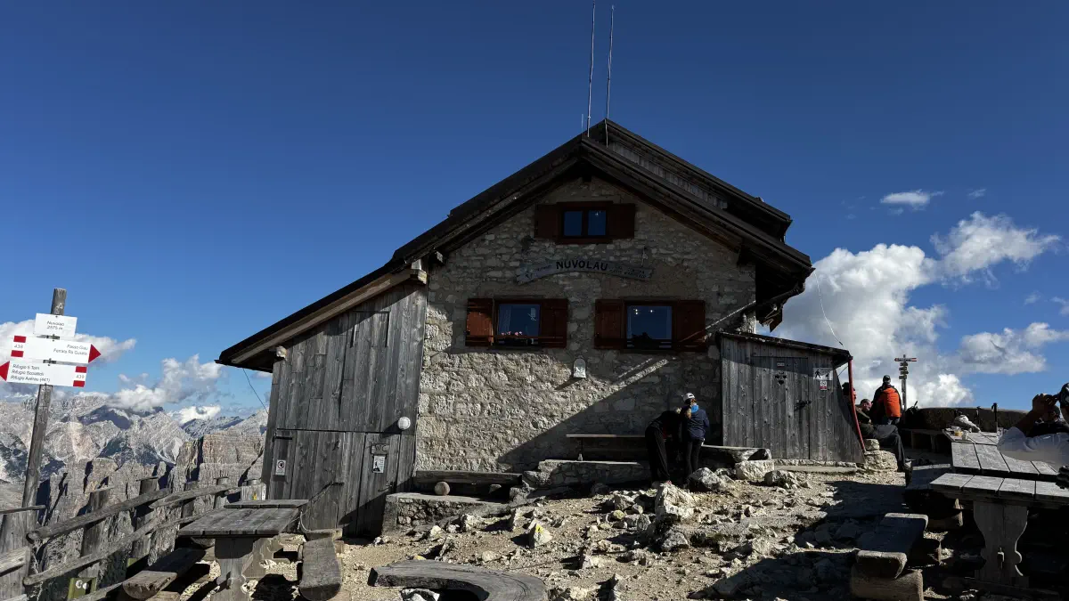
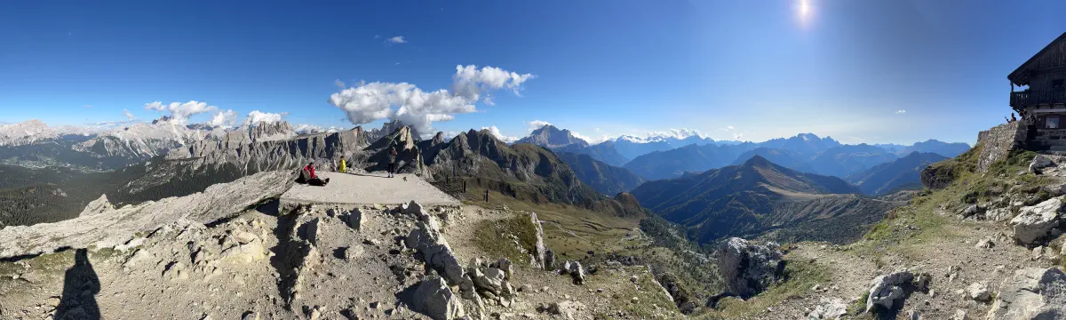
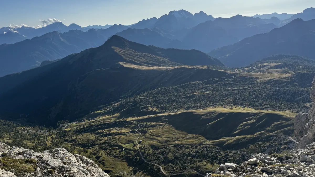
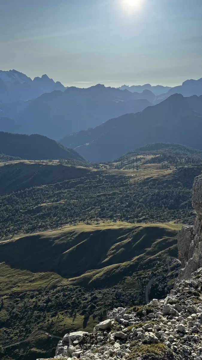
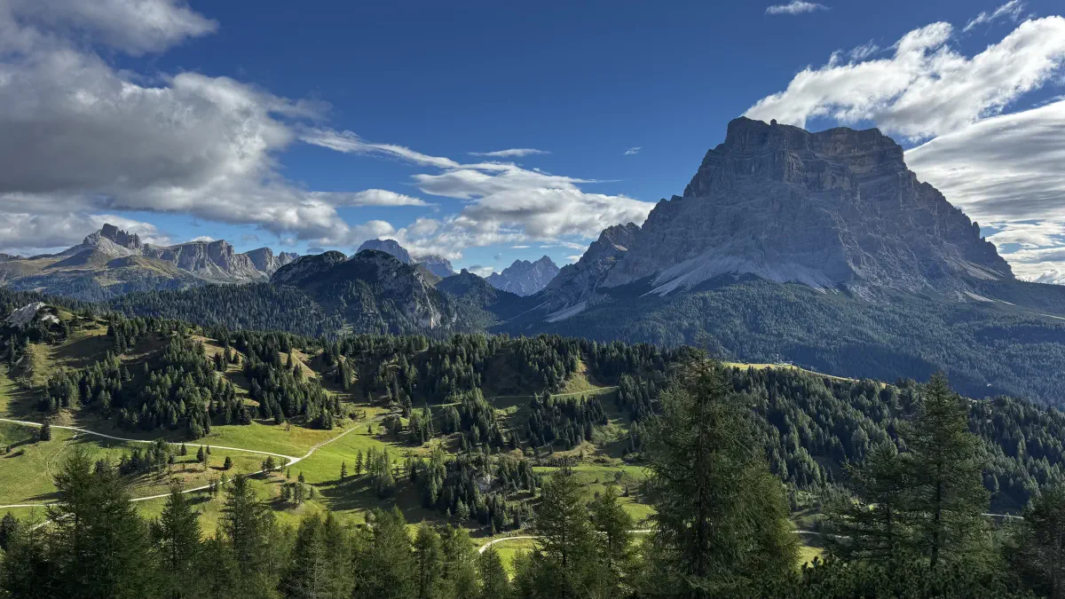
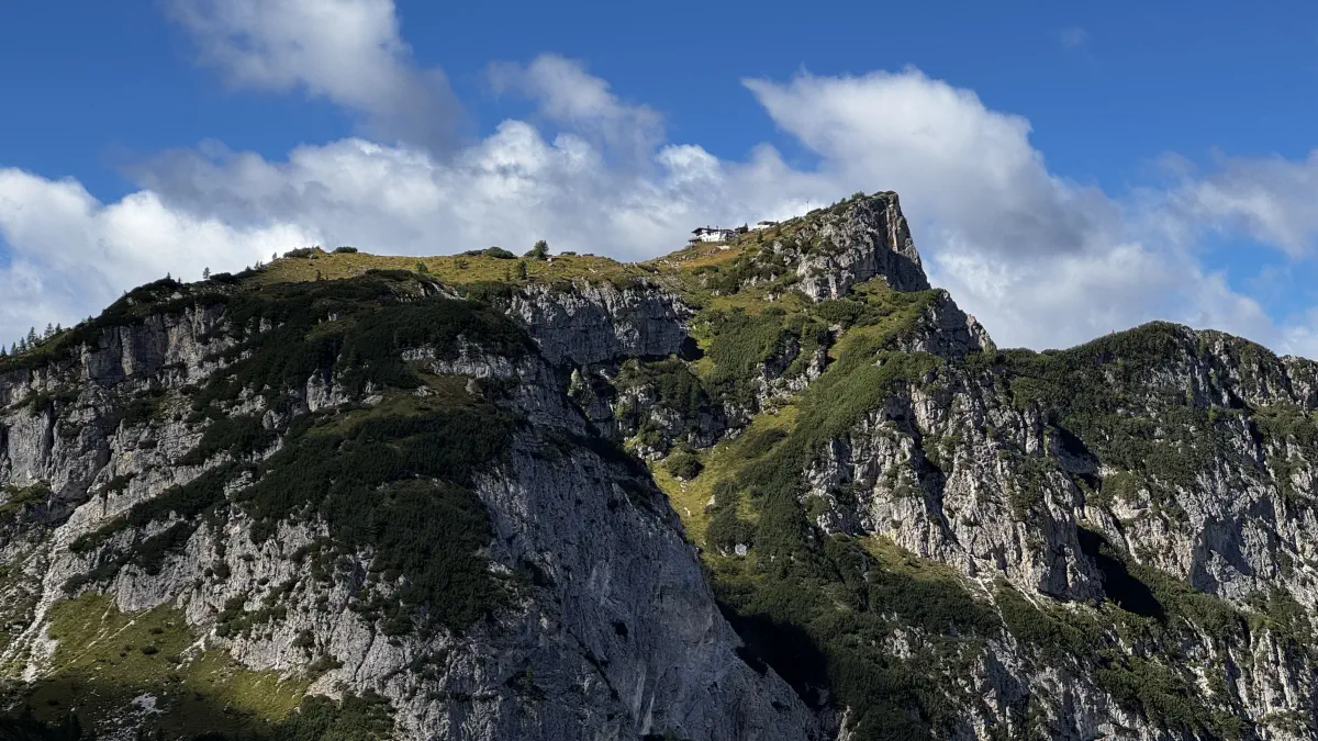
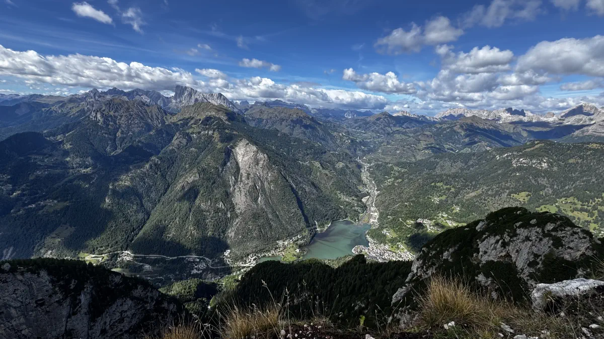
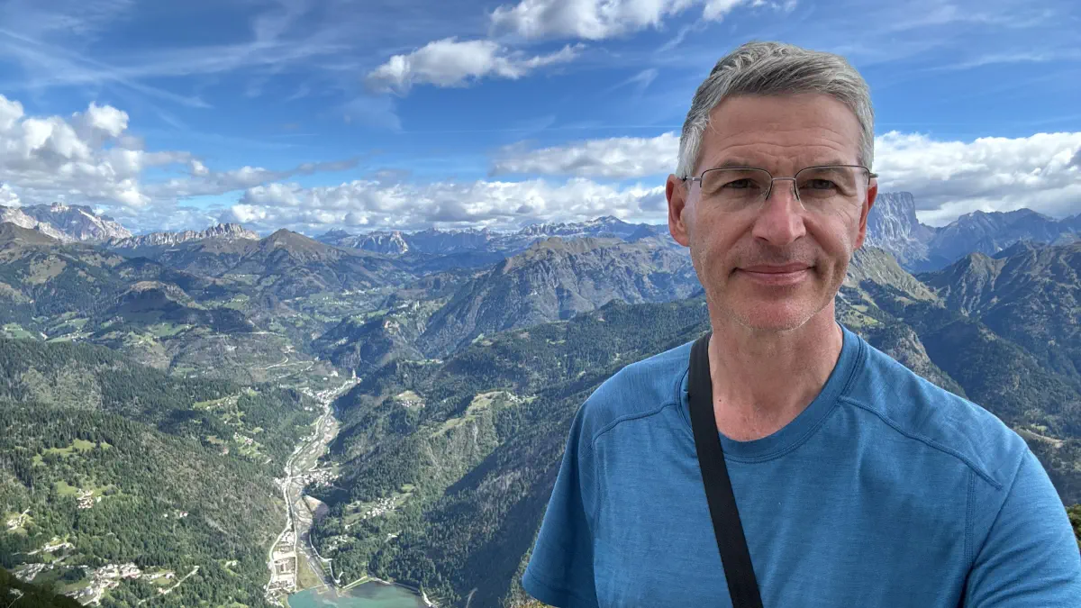
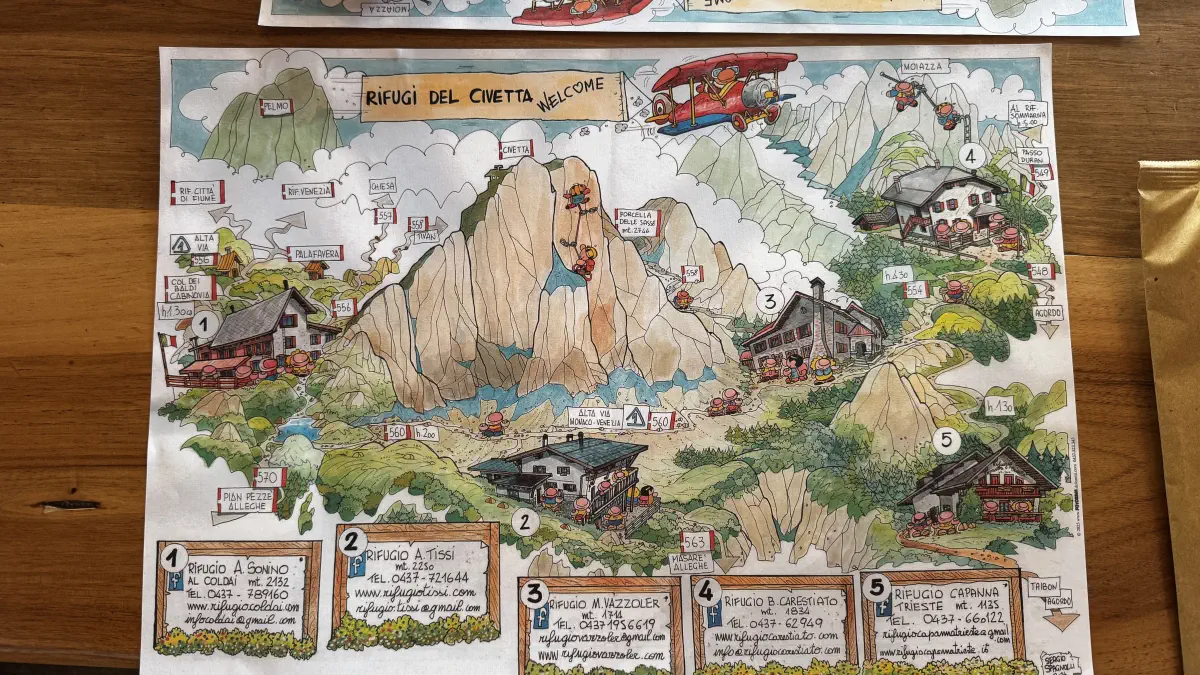
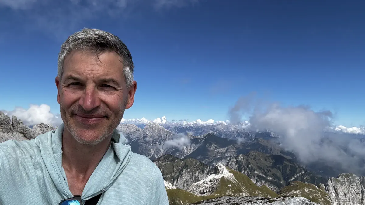
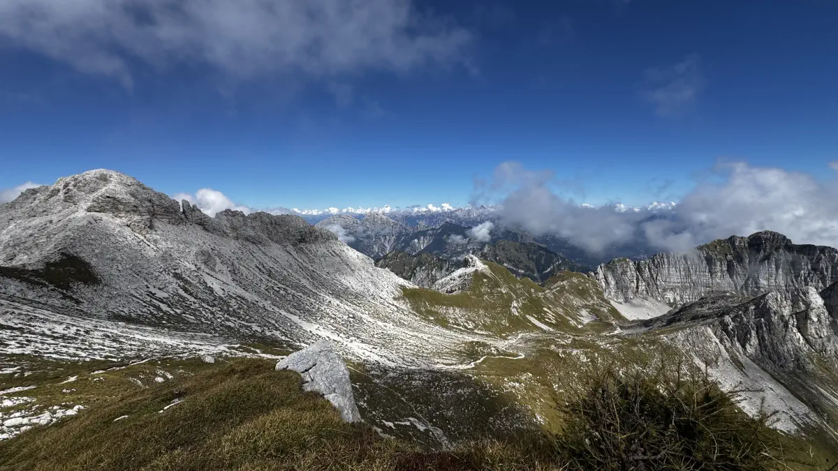
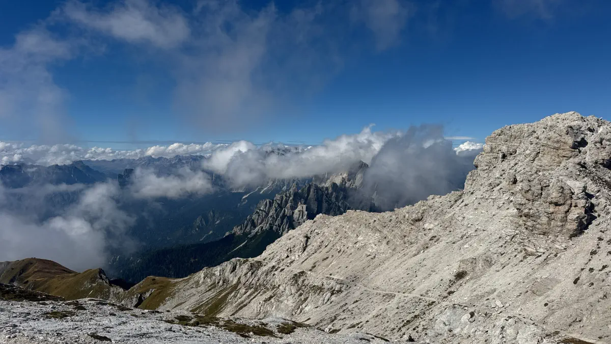
The Trek, The Lake, and Stage by Stage
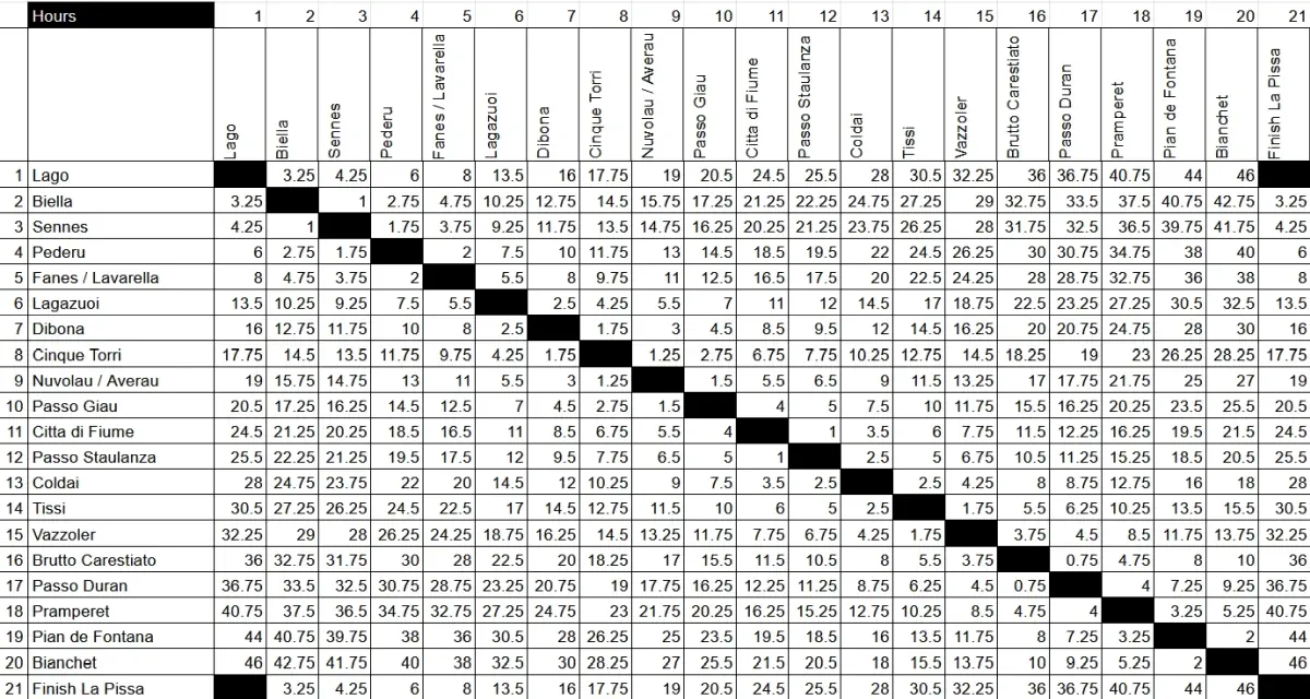
How busy is it? Busy, especially around the Biella–Sennes–Lagazuoi–Pederü cluster, which is the section most people access without doing the full route — I noticed larger groups from India, China, Taiwan, and the US, plus plenty of solo travellers. Beautiful, but at times the crowds (and the noise in the full dorms) took some getting used to. Huts aren’t really for me, at least not for days on end. A note on timings: all my stage timings include photo and snack breaks — I only stopped my watch for a proper sit-down lunch or an extended break.
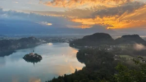
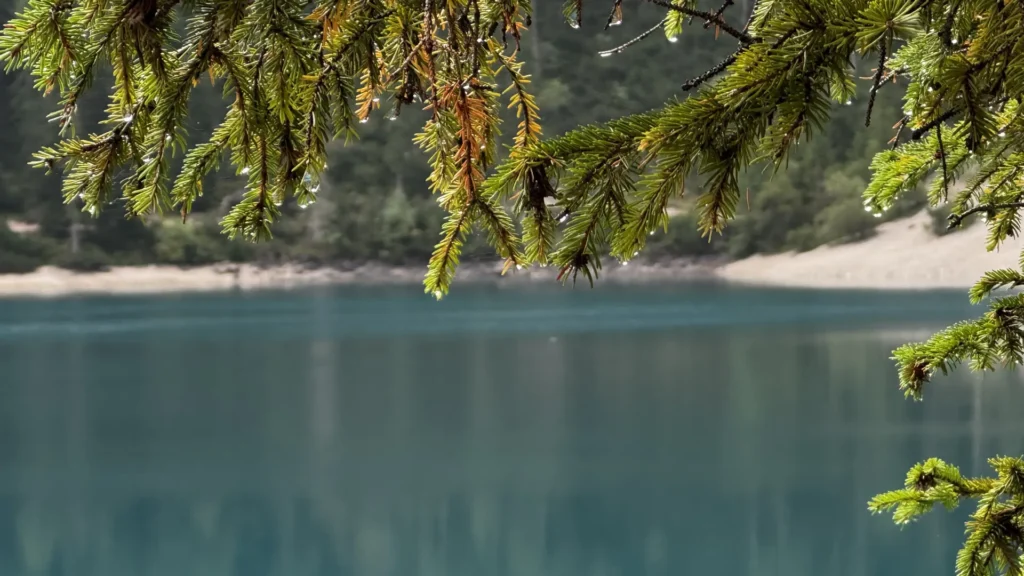
The lake, or as I named it, the “Insta Lake,” is especially busy. From Oberdorf, St. Vito, it’s a 25-minute walk to the lake — take the forest path, not the road. It’s another 30 minutes around the lake to the AV1 junction if you take the counter-clockwise path; the clockwise path takes longer. If you’re staying in a hotel, ask them to book you onto the shuttle bus on their contingent if you want to cut down the distance — it may look fully booked online, but some seats are held back for hotel guests. If you walk, you can be there before the first bus arrives.
Stage 0 — Preparation to Biella. 3h15m up, 2h35m back, total 1,250 m up and 1,270 m down (no pack, just water and a rain jacket).
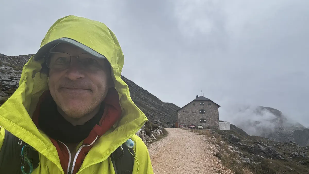
Left St. Vito at 10:15 in glorious sunshine and walked through the forest to the lake, then anti-clockwise to the trailhead. Climbing 1,200 m with an almost-empty pack was far easier than the next day with a full one. Lunch at the hut at 13:30, heading back down by 15:00, passing hikers labouring uphill with full packs — tomorrow, that’ll be me. Completed the lake loop using the counter-clockwise path. Back in hotel by 18:00 for a steam room, sauna, and dinner at 19:00.
Stage 1 — to Sennes. 4h30m, 1,142 m up, 317 m down.
Woke up at 06:15, no rain, packed, breakfast at 07:00, on the trailhead by 08:15. Start early if you want the lake peaceful — unless the weather’s good, in which case even 08:00 might be busy. A steep climb on a good surface, which I knew well from yesterday; persistent rain arrived around 10:00, and I reached Sennes for lunch at 12:30, hanging wet gear in the drying room. Prags to Seekofel/Biella is too short a day on its own, so pushing on to Sennes made sense. If you want to go further, Pederü is another 1h10m downhill, doable. Adding a further 500 m climb on top to reach Fanes or Lavarella feels like it would be too much — at least if you’re carrying a full pack.
Stage 2 — to Fanes. 3h00m, 593 m up, 662 m down.
08:15 start, gear mostly dry (can’t say the same for those arriving later). Nice views just after descending into the valley past the old airstrip, then along the road in switchbacks — 500 m down, past Rifugio Pederü, then 500 m back up. Thick fog for most of it, so no real comment on the views. Arrived at Fanes in the clouds at 12:00.
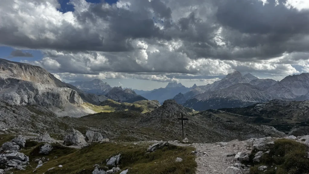
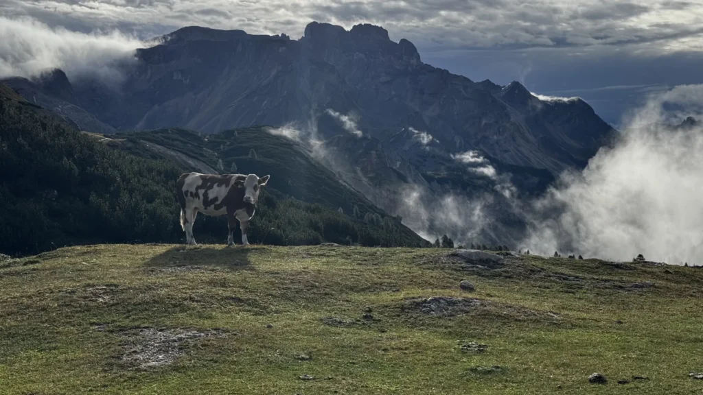
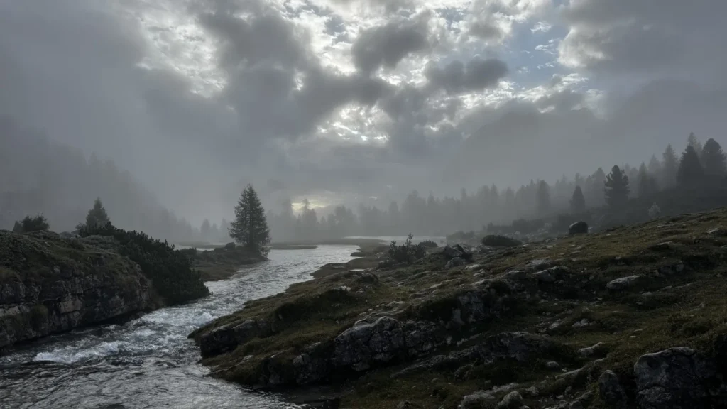
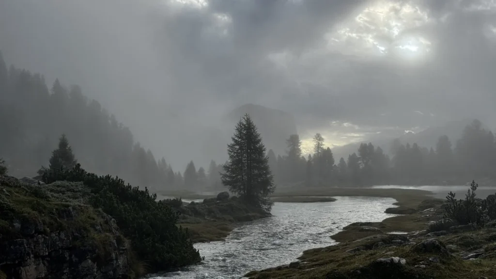
Stage 3 — to Dibona, via Rifugio Lagazuoi. 8h20m, 1,292 m up, 1,304 m down.
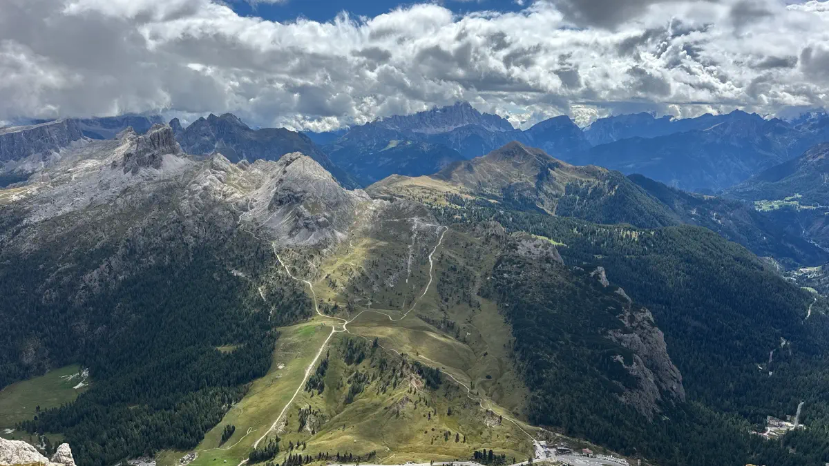
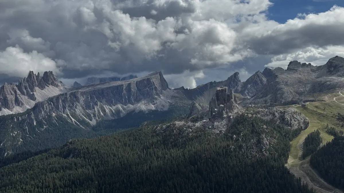
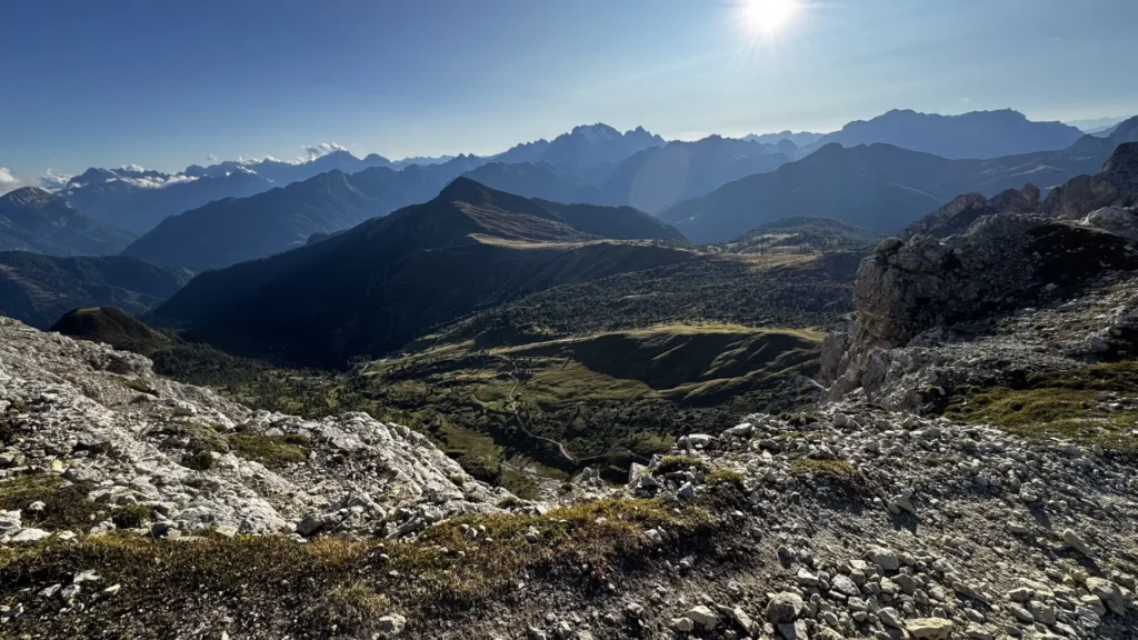
A 06:45 start, skipped breakfast for a packed lunch (order it the night before). This stage could be amazing — it was certainly long. Fog stuck around all the way to Rifugio Lagazuoi, and I really dragged my feet hoping it would lift before the pass at Lago di Lagazuoi. At 10:00 I hit Forcella di Lago for three minutes of sunshine before a steep, fog-covered descent to the lake Lagazuoi. From there it was time to stop waiting, shift gears, and speed-hike up to Rifugio Lagazuoi — a detour, but worth it. Amazing views (finally), and much more sun on that side; some Austrian hikers coming up the Kaiserjägersteig said it had been clear there all morning. From Lagazuoi there are a few route options: via the tunnels to Averau is quicker, or you can skirt the Tofana di Rozes toward Dibona and climb to Averau the next day. The descent to Dibona was harder than expected — slippery through a beautiful valley, with the last hour on scree, loose rock, and some involuntary gravel-skiing. Weather and views kept improving on the way down, at least.
Stage 4 — to Averau, via Cinque Torri. 3h50m, 905 m up, 525 m down, plus 1h05m and 149 m up/down to Nuvolau.
Left at 08:15. Weekend hikers joined the trail. A muddy, slippery 350 m descent, slow going even without rain, then a rocky 750 m climb — easier underfoot but heavy on the legs. The higher you get, the better the views, and eventually Cinque Torri appears — 1h40m from Dibona to the Cinque Torri rifugio. You need the right angle to actually see all five towers; I saw the formation the day before, but it looked like one large rock (Torre Grande). It gets very busy here thanks to the cable car and road access, but I found a good lunch spot just off the main tourist thoroughfare and spent well over an hour exploring, including a short scramble to see if there was a shortcut through (there isn’t). Arrived Averau at 14:00 — check in, refreshments, lunch, then a climb up to Nuvolau to scout the next day’s route. Good call: I didn’t want to tackle that ridge with a full pack in the morning dew, hanging off the cables, and the hut owner confirmed you need via ferrata gear for that section (Ra Gusela, trail 438) — quite different from what my guidebook suggested. Back at Averau for more excellent food and a wide selection of locally made grappa — the hay grappa was a revelation. Less revelatory: sleeping next to the loudest snorer on the Alta Via 1 that night. Audible from outside the room, through a closed door, and I wasn’t even in the first bunk past it.
Stage 5 — to Passo Staulanza. 6h17m, 594 m up, 1,205 m down.
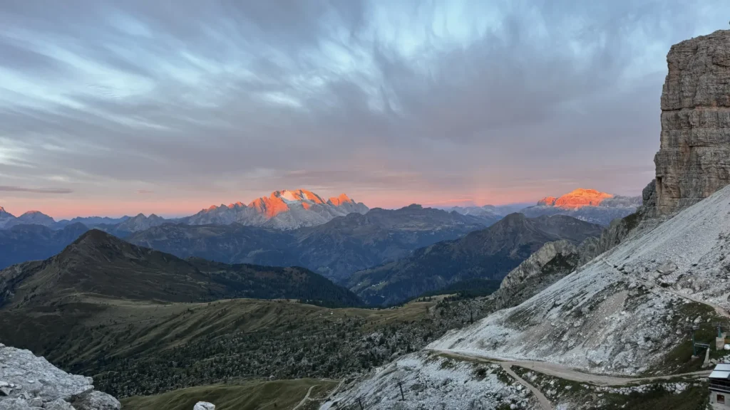
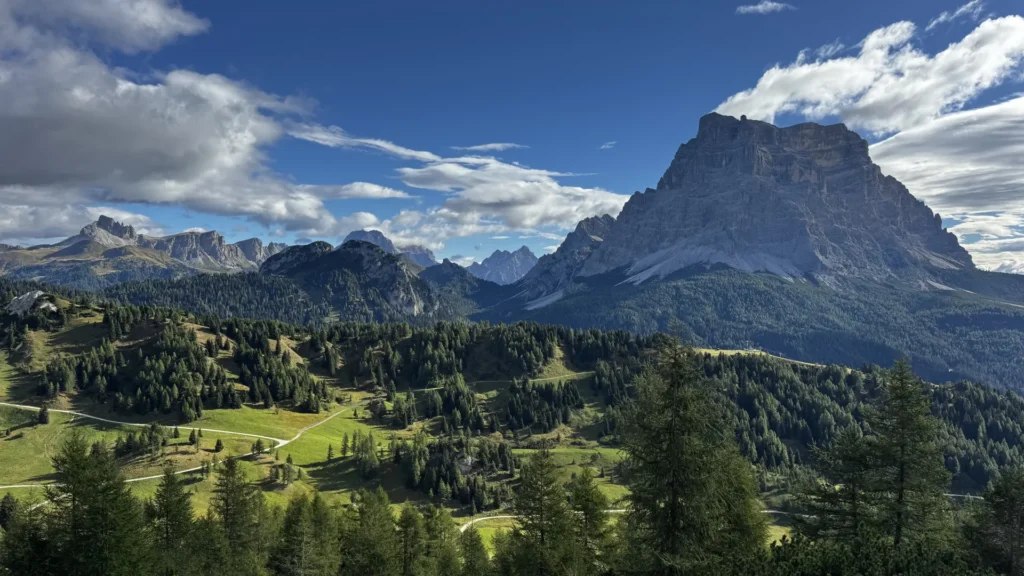
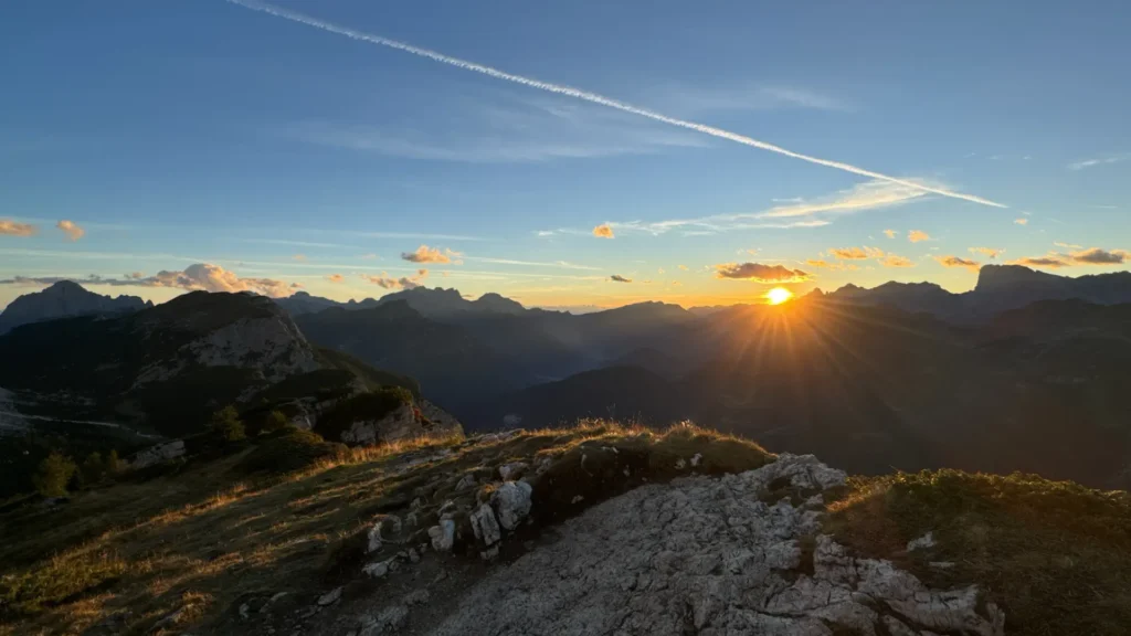
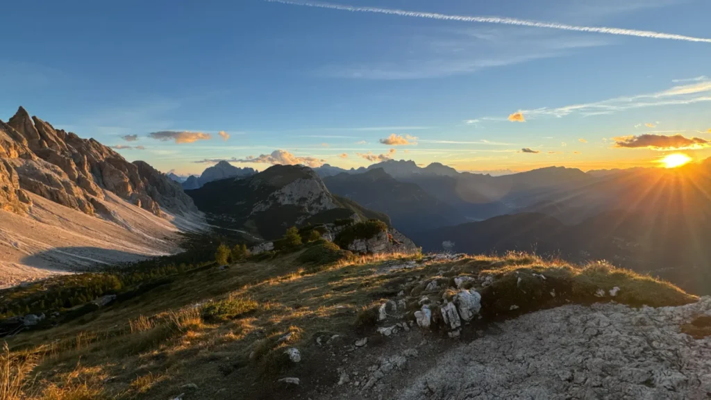
After almost no sleep, getting up at sunrise (06:20) wasn’t hard. A cold wind couldn’t distract from the panoramic sunrise, and I was the only one to make the 15 m walk from the hut. After a good breakfast (very good coffee), a tough start — even avoiding the cable section at Nuvolau, the detour behind the rifugio and down was steep, with big rocks to navigate. Taking the road instead would be faster and easier, for the same views. A very short coffee break at the busy, motorbike-filled Passo Giau, then the nice part begins: plenty of photo stops and views. I clocked 5h30m to Citta di Fiume including all breaks and lunch, then just shy of an hour to Staulanza. (At Forcella Ambrizola you can descend to Cortina d’Ampezzo instead, roughly 3 hours, and call it a day rather than continuing on the AV1.)
Stage 6 — to Tissi. 4h34m, 979 m up, 489 m down.
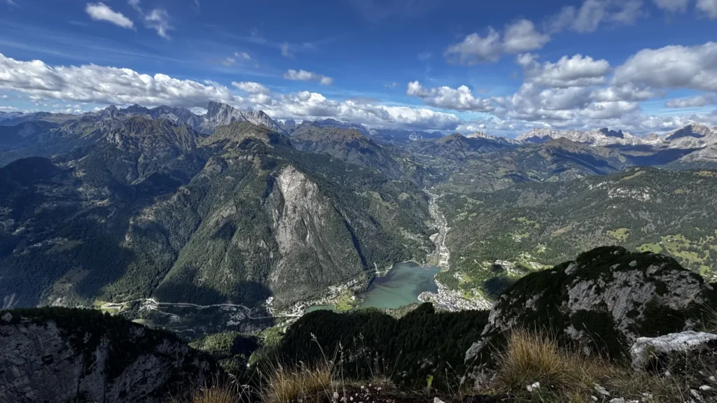
After a snore-free night, feeling almost refreshed. Said farewell to Monte Pelmo; the day’s climb to Tissi comes in three stages. Passed Lake Coldai halfway, before an epic view of the rifugio perched on the slope, views of the Val di Zoldo ski area just before Rifugio Coldai, and Lake Alleghe just after the lake. The final climb is steep, but the Civetta wall behind you keeps you going — epic views at the top. Found out later that someone had fallen 100 m and died at Coldai while taking photos of the night sky the day before. Always be safe in the mountains — watch your step, literally. The hut serves dinner early so you can be out for sunset, unlike Averau, where dinner landed right on top of it. Tough call either way.
Stage 7 — to Bruto Carestiato.6h30m, 807 m up, 1,228 m down.
Left Tissi at 07:45. This one felt harder than expected somehow — a steep descent, across a plateau, then down a road to Vazzoler. Walked through some cloud, then found what might be the best (competing with Biella) strudel of the trip at Vazzoler — don’t skip it. Just past the rifugio, the pale dolomite rock against blue sky is beautiful, but despite the scenery this stage seemed to drag. Navigation was vague per the guidebook and progress was slow, constantly correcting course — possibly just an off day, since other hikers found it easy.
Stage 8 — to Pamperet.4h55m, 738 m up, 712 m down, plus the climb to Forcella de Zita Sud and back, 2h42m, 557 m up and down from the hut.
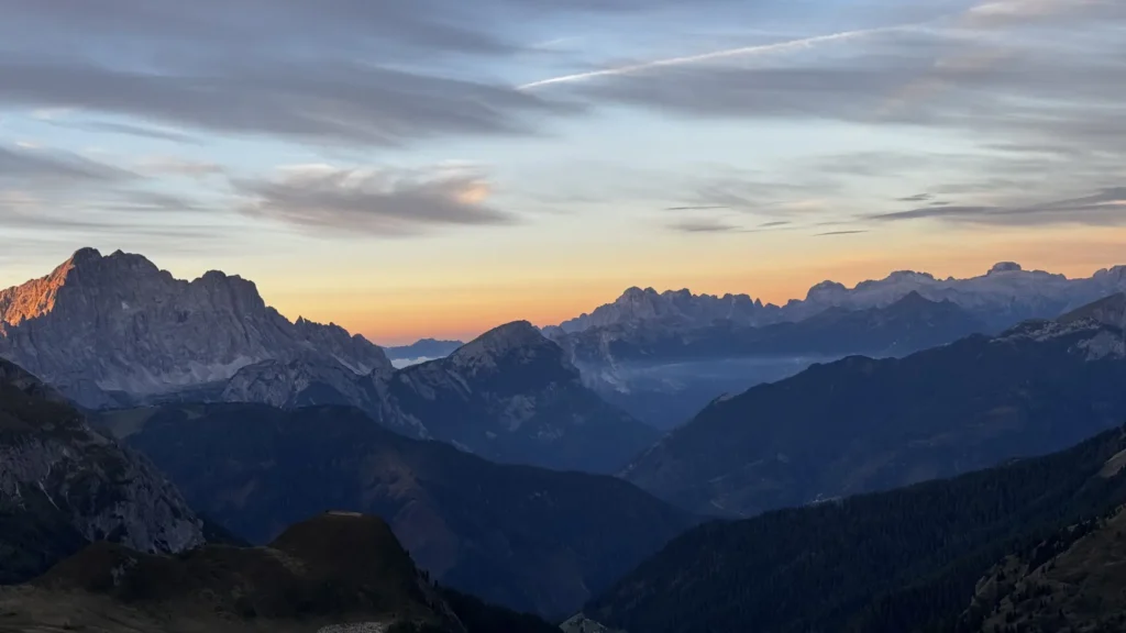
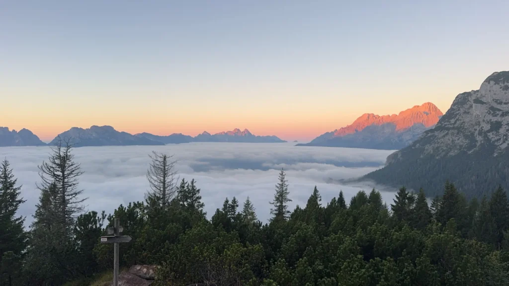
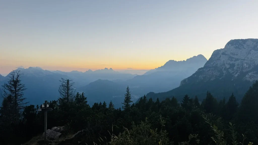
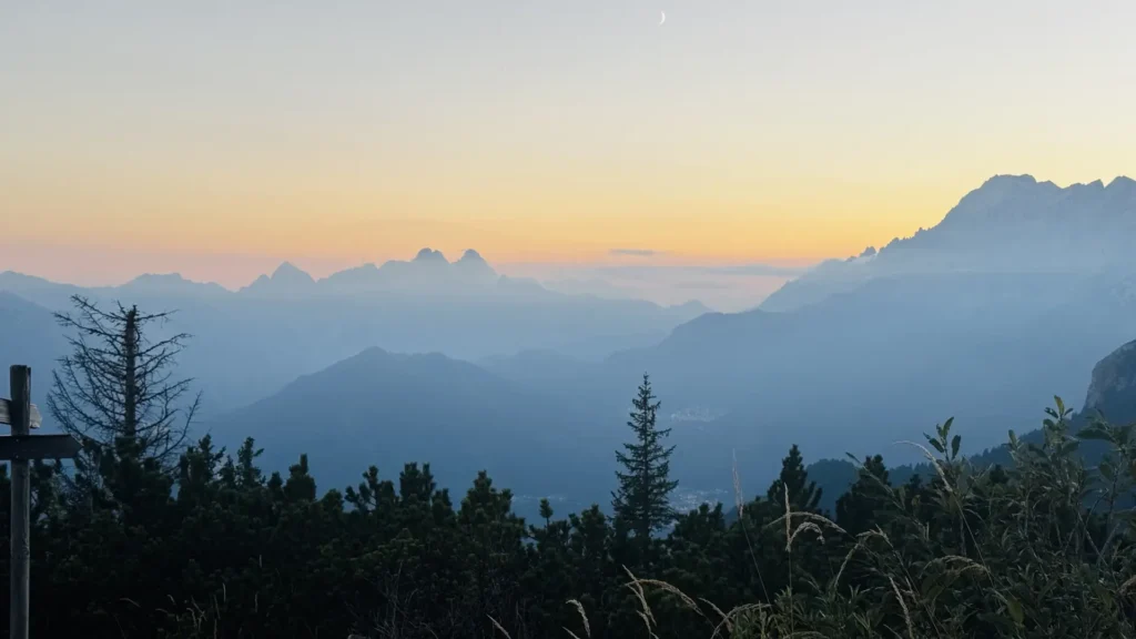
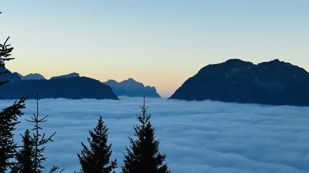
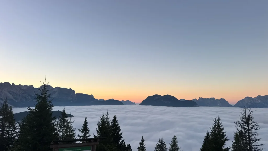
An epic cloud-inversion sunrise — worth getting up by 06:15 at the latest. Quick breakfast, on the trail by 07:10. The forecast looked bad for the next day — the crossing over Forcella de Zita Sud, a steep climb across scree followed by an even steeper, longer descent to Pian de Fontana — so the plan was to get to Pamperet quickly, drop the bag, climb up to the pass, then back to the hut, and hope the next day beat the forecast.
From Bruto Carestiato it’s a quick, easy descent to Passo Duran — fellow hikers said the rifugio there wasn’t great, with stressed and unhappy staff. There’s another hut just a couple hundred metres from there (San Sebastiano). Then along a main but quiet, fast road, arriving just past noon at Pamperet. Lunch, dropped the bag, and climbed up in 1h20m, catching the most stunning 360° view of the entire AV1 just before the clouds rolled back in.
In hindsight, a better plan would have been to skip Pamperet, cancel the stay, and push straight on to Fontana while the weather was good — Bruto to Fontana or Duran to Fontana are both doable in a day; Vazzoler to Fontana would be too far, especially with the 1,000 m+ descent on the other side. Pian de Fontana is said to be the better hut, with a better dinner, according to fellow hikers.
Stage 9 — to Forno di Zoldo. 2h51m, 26 m up, 1,058 m down, but with a river crossing.
Exit the AV1 and avoid a tricky climb and an even trickier descent around Forcella Zita di Sud, after a night with heavy rain and more on the way. It was a very cloudy day to start. The route passes Malga Pramper, follows a gravel road for a while, then cuts through the forest onto the Percorso d’Arte, continuously downhill. Other routes climb steeper — great if there’s a view, but if you’re on one of those and the weather isn’t cooperating, you’re better off on the lower route. A critical point comes just before the Castelaz car park: if you take the right-hand option and leave the road, you’ll end up crossing the Pramper river. There’s no bridge, so expect wet feet — and if the sluice gate is open, this crossing can become life-threatening due to high water flow. If in doubt, stay on the road; you’ll still arrive in Forno di Zoldo, just from a different angle.
Accommodation: The Huts
Hut availability is tight — tour companies block out allocations, which makes it worse. Many hikers I met booked via an agency to make the process easy. I found the booking fee was close to €1,000 compared to self-booking, but I only got one quote. For private rooms, I found it helps to be two or three people rather than solo, since private rooms (2- and 3-bed) are often sold as a pair or group rate rather than offered to solo travellers — you may need to invent an “invisible friend” to get one. A private room for two (dinner and breakfast included) ran about €265 at Fanes. These rooms are often booked 12+ months out, or need very persistent, near-daily checking.
Lunch is generally better than dinner in the huts — lunch is cooked to order, while dinner has to feed 40–80 people in a 60-minute window. That said, hut-to-hut food overall was very good, especially the cakes and strudel. Of the 8 huts, 3 nights were snore-free, and only 2 nights added up to a full 8 hours of sleep — the low point was under 4 hours, a night my tracker classified as not restorative. Internet (cellular or Wi-Fi) was available everywhere except Pamperet.
My ranking, best to worst(ignoring fellow guests — the 5 am packers, the flashing-power-bank crowd, etc.):
1. Averau ★ — would stay again
2. Fanes ★ — would stay again
3. Sennes ★ — would stay again
4. Tissi ★ — would stay again
5. Bruto Carestiato ★ — would stay again
6. Dibona
7. Staulanza
8. Pamperet
Notes on each (lunch-only stops marked):
- Lake (hotel).Not cheap, but worth it for an early, comfortable start — if you’re an early riser, you could just as easily do it from Franzensfeste to Villabassa, or stay in Villabassa and walk from there.
- Sennes: €55, B&B, 7-person dorm, fully booked. Friendly, dorm cramped but fine, good food.
- Fanes: €100 half board, 11-person dorm, fully booked. Private rooms exist but I couldn’t get one. Modern facilities, good food.
- Dibona: €84.50 half board, 8-person dorm, fully booked. Old and not especially appealing — smelly showers unless you’re first in, cold in the restaurant, flat vibe, only one slow USB socket per bed.
- Averau: €80 B&B. Excellent food — the venison mince pasta at lunch was amazing. Good wine, and the hay grappa was a highlight. Hot showers, fast internet.
- Staulanza: €107 half board. The guidebook pitches this as more upmarket and worth it — nothing upmarket here except the prices. Cramped dorm, impersonal service, overly commercial, priciest drinks of the trip. Right on a proper road, easily serviced by vehicle. Had a dorm with its own bathroom, though — 7 people in the dorm.
- Tissi: €80 half board. Most isolated hut on the trek. Very friendly crew, limited but good lunch options (last operating week of the season), amazing views. Old mattresses that roll you back to the centre. 4-person dorm; 3-minute shower tokens cost extra.
- Bruto Carestiato: €78 half board. Small dorm, 4 people, better mattresses, food okay, staff seemed a bit stressed. Good location.
- Pamperet: €75 half board. Staff nice, good lunch, worst dinner of the trip (the panna cotta was an embarrassment for Italy). Narrow beds, with no protection to stop you rolling off the top bunks. 8-person dorm, very stuffy.
- Biella: Lunch only. Friendly, basic — possibly not amazing to sleep in, but top apple strudel and coffee.
- Lagazuoi: Lunch only. Pasta a bit too al dente; Fanes was better food-wise, though without the view. Has a sauna with a view, and private rooms if you can get one. Was fully booked at my dates.
- Vazzoler: Strudel and coffee only. Looked nice, has an alpine garden, and could be a good option instead of Tissi — though you’d miss out on the sunset and the views.
- Coldai: Strudel and coffee only. Looked relaxed, but that may just be because I arrived after the other hikers had left — probably fully booked too.
A Few Dolomite Words to Know
Malga — a mountain hut/farmstead used for summer alpine grazing, where cheese and dairy are often made; many now double as small restaurants.
Passo — a mountain pass, the lowest crossing point between two peaks, usually drivable (e.g. Passo Giau, Passo Staulanza).
Cima — a summit or peak (e.g. Cima di Zita Sud).
Forcella — a saddle or notch between peaks, higher and narrower than a passo, usually foot-only (e.g. Forcella de Zita Sud).
Col — similar to forcella, a general Alpine term for a saddle/gap, sometimes used interchangeably with passo or forcella depending on the region.
Ücia (also ütia/üćia) — Ladin, not standard Italian, for a mountain hut or refuge.
Bon Di — a common local greeting in this part of the Dolomites.
Tips and Tricks
Food
Lunch in the huts is generally better than Dinner as it is cooked to order. All were good and I particularly liked Sennes, Fanes and Averau.
Strudel is omni present and generally great, the best was Vazzoler and Biela. There are other cakes too, and you don’t have to have cream (senza panna) with it.
Vegetarian can be tricky, Vegan even more so. You better like Polenta.
Resources
- Dolomitibus
- Route and Rifugio map by Moon & Honey Travel
- “Trekking the Dolomites AV1” by Knife Edge Outdoor Guidebooks, made planning a lot easier.